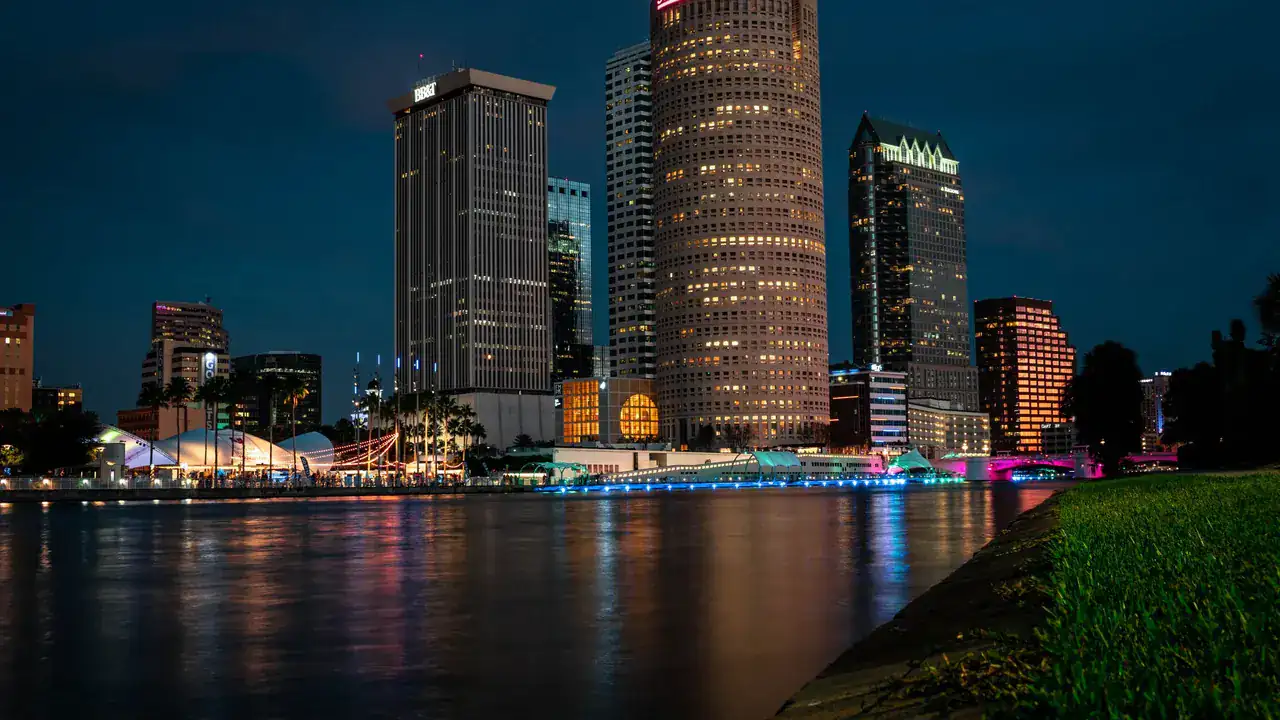
Tampa · Florida
Website Design Services in Tampa, Florida for Businesses Whose Nearest Market Is Reached by Bridge
The next market sits inside the same metro area and on the other side of open water, reached through a small fixed set of crossings. A service area drawn as a circle counts the bay as covered ground and says nothing about the crossings, which is exactly the part a company on this side has to decide about.
One metro area, two divisions, and open water between them.
The metropolitan statistical area here is split into two divisions. One covers this side and the counties above it; the other covers the peninsula across the bay. They are officially halves of the same market area, and between them is water, crossed by a small number of named bridges and causeways, all of which appear on any map of the region because there is nothing else to draw.
That is an unusual arrangement for two markets counted together. Most adjacent markets are adjacent in the ordinary way, where the ground simply continues and the boundary is a line on paper. Here the boundary is a physical fact and the connections between the two sides can be listed on one hand.
A radius counts the bay and ignores the bridges.
Service areas get imagined as circles almost automatically: a distance from the address, and everything inside it. Drawn here, a good deal of what that circle encloses is water, so the site is claiming ground that is not ground. At the same time the circle knows nothing about the crossings, which is the only way the far side is actually reached, so it under-describes the thing that matters most.
Where a business does work both sides, the site should say so as a route rather than as a range: the ground covered on this side, the ground covered across, and the fact that the two are connected by specific crossings rather than by continuous land. Where a business does not work across, the site should not draw a circle that implies it does. Neither of those is a mapping decision, which is why the map is the wrong place to make it.
Near on the map, reached by a named crossing.
Tampa's pressure comes from a neighbouring market inside the same metro area and on the far side of open water. Read what the market brings, what the water does, and what the site must carry as a result.
The Market Shape
One Metro Area, Two Divisions
The delineated market is split in two, and the split runs along the bay rather than along a line on paper.
A Countable Set of Crossings
The two sides connect through a small fixed number of bridges and causeways and nowhere else.
Nearby Ground That Is Not Ground
A large share of what sits close to an address on this side is open water.
What the Water Does
A radius claims the bay
The circle encloses water and presents it as covered area, because a circle cannot tell the difference.
The route disappears from the description
The crossings are how the far side is actually reached, and a distance figure says nothing about them.
One metro name implies one continuous market
Counted together officially, the two sides get written about as though the ground ran between them.
What the Site Must Carry
Coverage described as reach and route
The ground worked on each side, and the fact that the two connect through specific crossings.
View Website Design & DevelopmentA decision about whether the far side is a market
A cost-to-serve judgement that precedes the site and cannot be read off a map.
View Growth StrategyNothing built on an assumption of continuous ground
Structure that treats nearby as adjacent will misdescribe a market whose neighbour is across a bay.
Where the ground stops and the bridges start, distance stops being a description of anything.
Local where it is true, unbounded everywhere else.
Coverage stated as reach, not as radius
A distance from an address is a poor description of an area where a large share of the nearby ground cannot be driven on.
The far side named explicitly or not at all
Across the water is either part of what this company covers or it is not, and the site should not leave a circle to imply an answer.
Two sides written as two, not averaged into one
Where the work genuinely spans both, describing them separately is more useful than a single figure that fits neither.
No structure that assumes continuous ground
Layouts and lists built on the idea that nearby means adjacent will misdescribe a market whose neighbour is across a bay.
The services this market earns.
The build anchors the engagement. Anything beside it is here because this market's constraint reaches it, not because the catalogue exists.
Website Design & Development
Strategy, design and engineering built as one commercial instrument.
View Website Design & Development
One market inside a wider structure.
Tampa sits inside Florida and inside the wider location directory. Neighbouring markets link through where they have a page of their own.
Neighbouring markets
Before you ask.
Before a circle decides which side of the bay is covered,
start with the constraint, not the address.
We start by reading the business before the map: which ground this company actually works, whether the far side is one of its markets, and what the site should therefore be claiming.